 ATLASANTE
Cart'Eaux - Métropole - Maquette édition
Simple
Identification info
- Date (Creation)
- 2019-06-11T13:30:00
- Theme
-
- AEP
- national
- codePP
- périmètre
- captage
- INSPIRE Service taxonomy
-
- infoMapAccessService
- Domaines
-
- Eau potable
- Domaines
-
- Eau potable
- Domaines
-
- Eau potable
- Domaines
-
- Eau potable
- Domaines
-
- Eau potable
- Eau potable (non éditable)
- Access constraints
- Restricted
- Use constraints
- Restricted
- Other constraints
- sécurité publique
- Classification
- Restricted
- User note
- Accès soumis à la signature de l'acte d'engagement et au respect des conditions générales d'utilisation
- Service Type
- invoke
- Description
- France
N
S
E
W
))
- Coupling Type
- Tight
Contains Operations
- Operation Name
- Accès à la carte
- Distributed Computing Platforms
- Web services
Contains Operations
- Operation Name
- Accès à la carte interactive
- Distributed Computing Platforms
- Web services
Contains Operations
- Operation Name
- Accès au fichier contexte OWS de la carte
- Distributed Computing Platforms
- Web services
Contains Operations
- Operation Name
- Accès à la carte interactive
- Distributed Computing Platforms
- Web services
Contains Operations
- Operation Name
- Accès au fichier contexte OWS de la carte
- Distributed Computing Platforms
- Web services
Contains Operations
- Operation Name
- Accès à la carte interactive
- Distributed Computing Platforms
- Web services
Contains Operations
- Operation Name
- Accès au fichier contexte OWS de la carte
- Distributed Computing Platforms
- Web services
- Connect Point
- https://carto-test.atlasante.fr/context/getOws/14282830 ( WWW:LINK-1.0-http--link )
Contains Operations
- Operation Name
- Accès à la carte interactive
- Distributed Computing Platforms
- Web services
- Connect Point
- https://catalogue-test.atlasante.fr/geosource/consultation?id=14282830 ( WWW:LINK-1.0-http--link )
Coupled Resource
- Operation Name
- GetCapabilities
- Identifier
- 80bad636-a73c-40f6-a79f-d7ef5e30b698
Coupled Resource
- Operation Name
- GetCapabilities
- Identifier
- c464eaf8-0068-4854-806d-1b4d9f6be6e2
Coupled Resource
- Operation Name
- GetCapabilities
- Identifier
- cfb7a04a-0920-4fd2-891a-c1907c601c8f
Coupled Resource
- Operation Name
- GetCapabilities
- Identifier
- 7061ccfa-8400-4d66-8c49-b1c6ccbf6095
Coupled Resource
- Operation Name
- GetCapabilities
- Identifier
- 8e242ee5-c97d-4975-8e96-9cb176d84116
Coupled Resource
- Operation Name
- GetCapabilities
- Identifier
- 0c25b5b7-ebc4-43a1-a240-67d4b112161f
Coupled Resource
- Operation Name
- GetCapabilities
- Identifier
- 2403c29a-88b8-47b2-9835-325ef0aa367a
Coupled Resource
- Operation Name
- GetCapabilities
- Identifier
- 7fe889f2-90d5-46c1-b484-8cacb7af3177
Coupled Resource
- Operation Name
- GetCapabilities
- Identifier
- 0b06868f-f644-44e2-a970-9ae393b60506
- Operates On
-
- CART'Eaux - Métropole - Captages et données SISE
- Communes 2016 - Unités Administratives express
- EPCI - Unités Administratives express
- Départements 2016 - Unités Administratives express
- ARS Nouvelle-Aquitaine - Unités de distribution (UDI) - 2016
- CART'Eaux - ARS Nouvelle-Aquitaine - PPE
- CART'Eaux - ARS Nouvelle-Aquitaine - PPR
- CART'Eaux - ARS Nouvelle-Aquitaine - PPI
- Régions 2016 - Unités Administratives express
- Reference system identifier
- EPSG / RGF93 / Lambert-93 (EPSG:2154) / 7.9
- Units of distribution
- liens associés
- OnLine resource
-
Accès à la carte
(
WWW:LINK-1.0-http--link
)
Accès à la carte
- Hierarchy level
- Service
Overviews
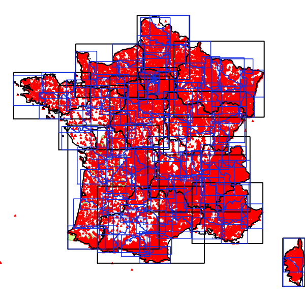
Aperçu
Spatial extent
N
S
E
W
Provided by

Associated resources
Not available